Please put an active hyperlink to our site (www.rusnature.info) when you copy the materials from this page
Russian Zapovedniks and National Parks
<<< Zapovednik "Basegi" | Index and Map | Zapovednik "Denezhkin
Kamen" >>>
Zapovednik "Bashkirsky"
Address: 453592, Republic Bashkortostan, Burziansky r-n., pos.
Sargaya.
Zapovednik Bashkirsky, in the Republic of Bashkortostan, was founded in 1930. Its area
has been subject to many changes; today it makes up 49,6 thousand ha. From 1951 until 1953
the Zapovednik did not function; in 1956 was reopened and consisted of three parts:
Ural-Tau, Southern Krak and Pribelsky. The last was reformed in 1986 into an independent
Zapovednik (see Zapovednik "Shulgan-Tash").

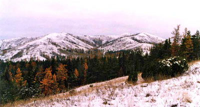
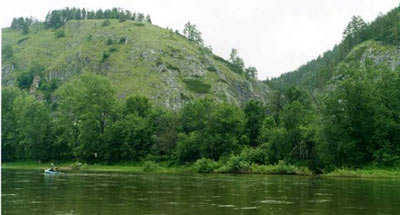
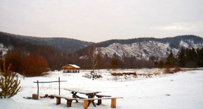
The Zapovednik is situated in the middle of Southern Urals. The relief is low-mountain
with absolute heights up to 930 m above the sea level. The ranges of the Southern Krak end
with narrow ridges; the tops of the Ural-“аu ranges are flat, with slopes which are
relatively steep.

In the plant cover height belts are clearly marked: lower parts of slopes are occupied
with pine forests with a sprinkling of broad-leaved species and birch, which change higher
into open larch woodlands. To the top parts of southern slopes belong the districts of dry
rocky steppes with feather-grass. In the river valleys tall grass meadows are met. The
vestiges of fires are common.

The Zapovednik is located in the area of the biogeographical border between European
and Siberian elements of flora and fauna. This fact, and also the complex relief of the
land result in a high biological diversity. Thus among the birds grouse and day predator
species are richly presented 4 species are in the Red Data Book of the Russian federation:
fish hawk, golden eagle, imperial eagle, and peregrine falcon. A high number of ungulate
animals (introduced maral-deer, elk, roe) and a high density of big predators (brown bear,
lynx, wolf) also characterize the zone.
<<< Zapovednik "Basegi" | Index and Map | Zapovednik "Denezhkin
Kamen" >>>
|