Please put an active hyperlink to our site (www.rusnature.info) when you copy the materials from this page
Russian Zapovedniks and National Parks
<<< National Park "Pripyshminskiye
Bory" | Index and Map | Western
Siberia >>>
National Park "Zyuratkul"
Address: 456910 Chelyabinskaya obl., Satka, Sovietskaya st., 15.
National Park Zyuratkul, in Satkinsky District of Chelyabinsk Region was established in
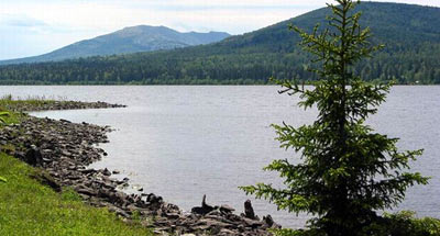
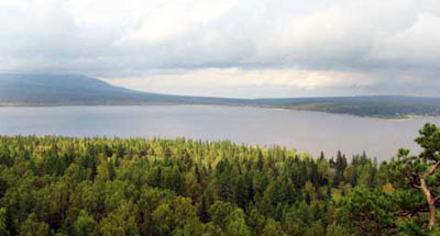
1993. Its area is 87,4 thousand ha. It includes the high-mountain lake Zyuratkul (area
1350 ha) on the Southern Urals, surrounded by mountain ranges. It is the highest part of
Southern Urals (mountain Bolshoy Nurgush rises 1406 m above the sea level).

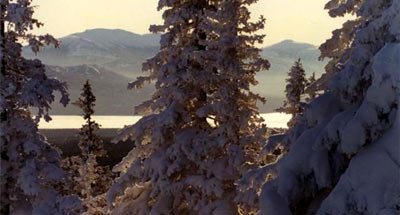
The woodland accounts for over 80% of the area. The southern-taiga mountain forests of
pine and spruce with an insignificant proportion of fir and larch prevail. At an altitude
of 850-1000 m above the sea level birch-spruce open woods with alpine glades are common.
Mountain tops are occupied by mountain tundras and alpine meadows.

About 600 vascular plant species are recorded, many of them being Southern Urals
high-mountain endemics.
There are 46 mammal species, and 160 avian. Widespread taiga species predominate,
including: the brown bear, lynx, capercaillie , black grouse, hazel grouse. Of rare birds,
the golden eagle is recorded.

On the shore of Lake Zyuratkul, historical and archeological sites are found Ч relict
villages of the ancient man, dated 13th-12th and 7th-3rd ages BC (Dolgy Elonik Cape,
Kamenny Cape). On the slopes of the B. Moskal Range ancient sacral stones are found.
<<< National Park "Pripyshminskiye
Bory" | Index and Map | Western
Siberia >>>
|